Baja California, Mexico · San Quintín area
Land surveying in Baja California — handled from the US
Own land or inherited an ejido property in Baja California but live in the United States? We define boundaries, survey land, prepare plans and support title paperwork — coordinated entirely over WhatsApp, so you don't have to travel.
→ Send us the location of your land and we'll guide you, no obligation.

How we help property owners abroad
For over 20 years our civil engineer has worked in surveying — based in San Quintín since 2010. We handle the technical and on-the-ground work locally, report back to you in English, and keep everything moving by WhatsApp and email.
- Land surveys — exact area, measurements and boundaries of your property.
- Boundary definition (deslinde) — for urban, rural and ejido land.
- Topographic & cadastral plans — accepted by the local land registry (Catastro) and notaries.
- Subdivisions & mergers — split or combine parcels with proper plans.
- Cadastral & title paperwork — cadastral key, transfer of ownership, Public Registry support.
Where we work
San Quintín, Vicente Guerrero, Camalú, Rubén Jaramillo, Lázaro Cárdenas, Nuevo Mexicali, and Ensenada area for special projects — the whole San Quintín valley in Baja California.
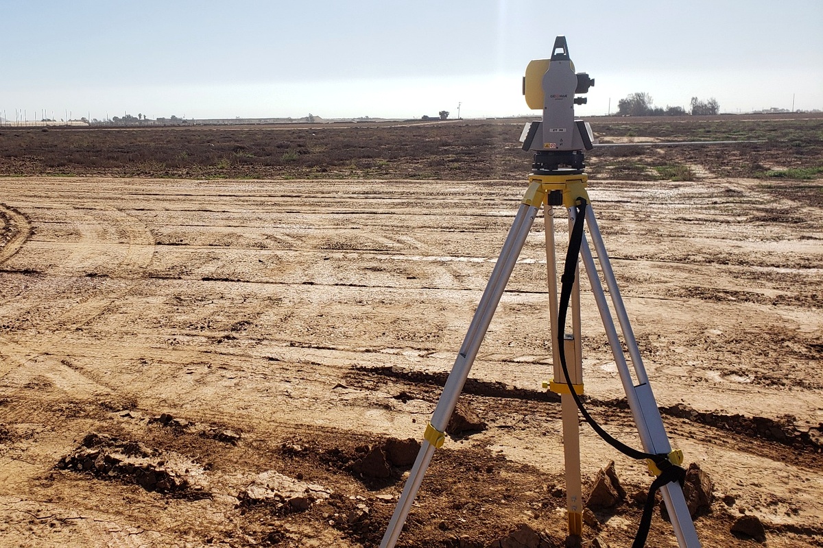
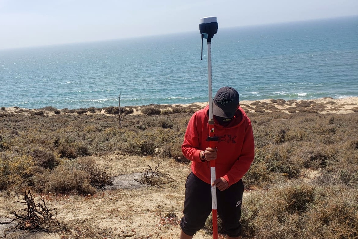
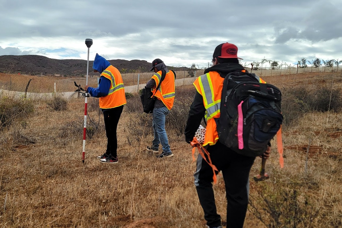
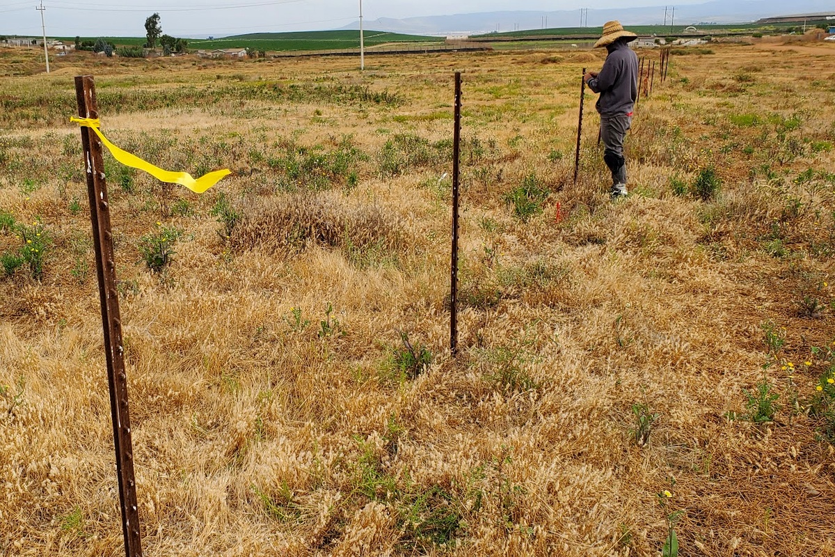
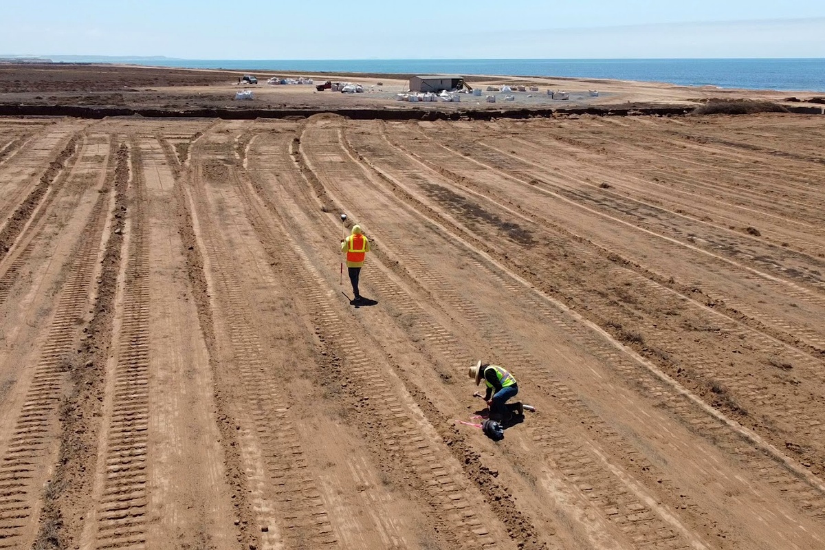
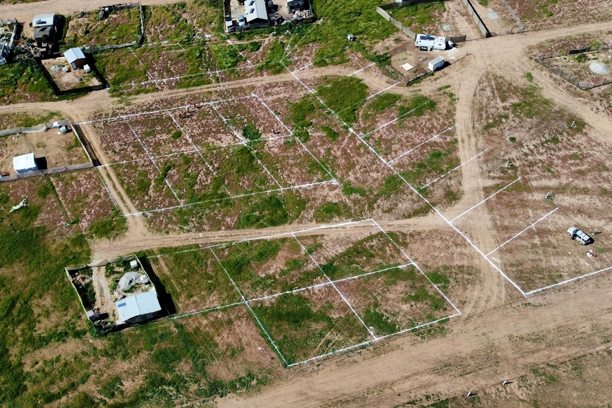
Fieldwork in Baja California
Real surveying work across the San Quintín valley — total stations, GNSS equipment, boundary checks and aerial mapping.
Important note
We provide surveying and technical documentation support. Legal outcomes, registry approvals and cadastral procedures depend on the corresponding authorities. Each case is reviewed individually based on the available documentation.
We support rural, urban and ejido-related property cases, depending on the documentation available, with bilingual communication by WhatsApp.
Working from the US? No problem.
You don't need to fly down. We coordinate everything remotely: you send us the property location, we do the fieldwork, and we deliver the results and documents you need.
Tell us about your property
Send the location over WhatsApp and we'll tell you what you need and the next steps — same-day reply, in English.
WhatsApp · +52 616 105 2727